À propos de ctgeo

CTGeo offre des services précis en géomatique, adaptés aux besoins des projets SIG professionnels.

A modern workspace with dual monitors displaying detailed GIS maps and data analysis.
Notre mission
Nos valeurs

Engagés à fournir des solutions fiables, nous privilégions la rigueur technique et la clarté dans chaque projet.
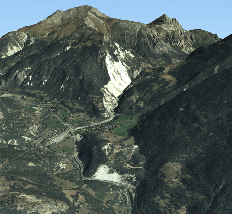
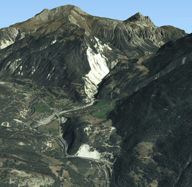
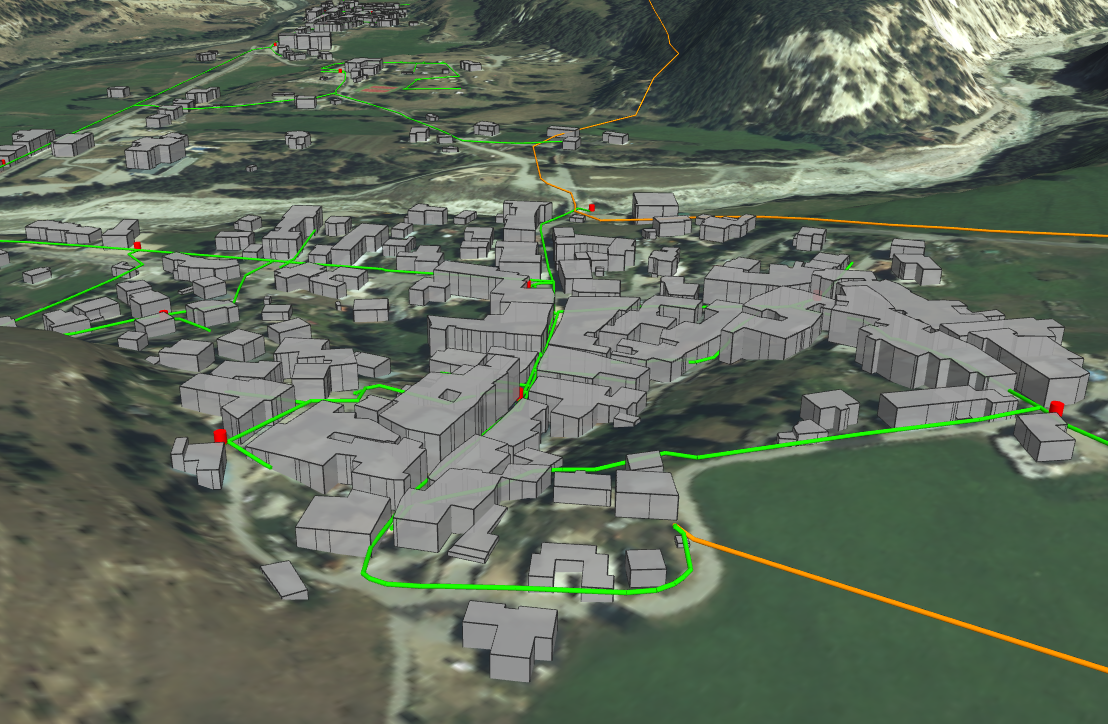
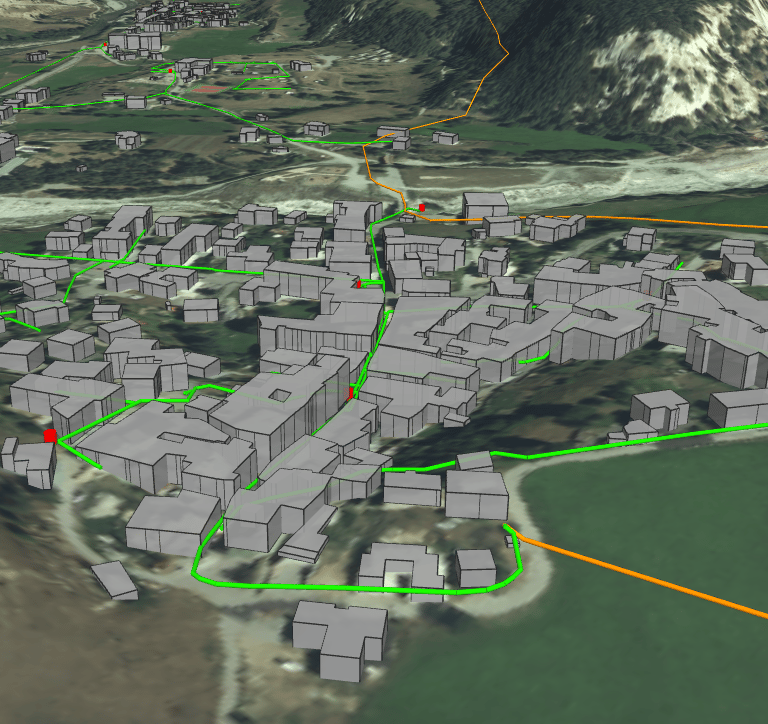
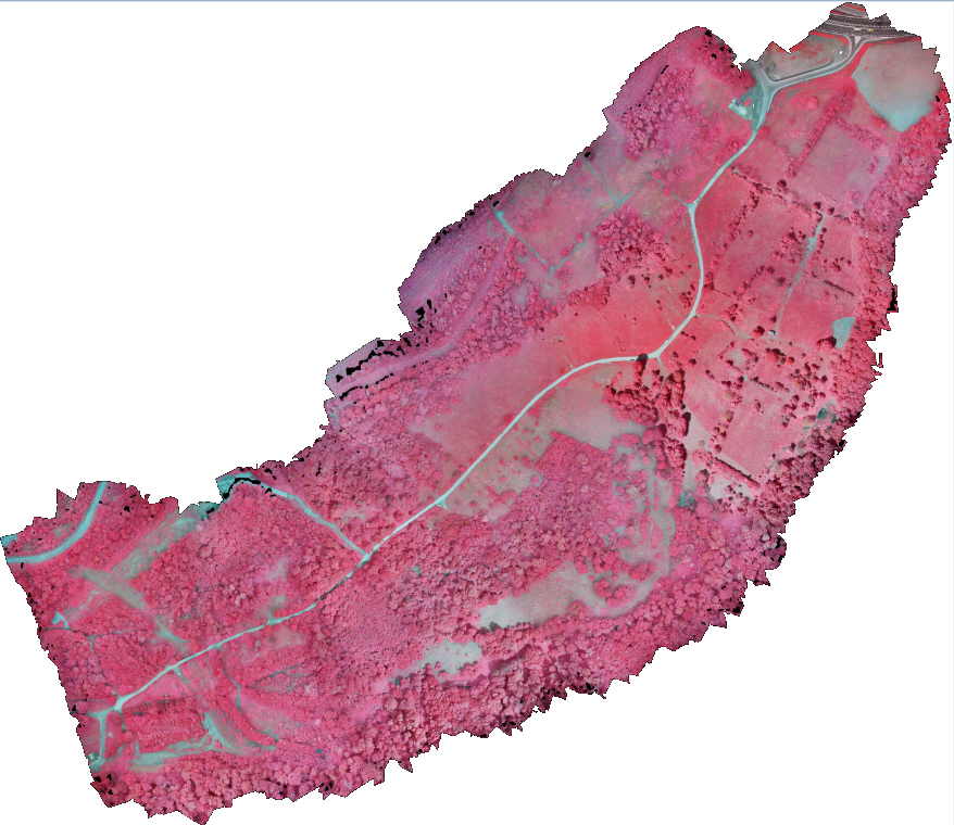
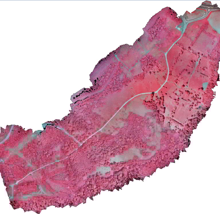
A detailed topographic map displayed on a computer screen with colorful contour lines and data points.

Galerie

Exemples concrets de nos relevés et analyses SIG professionnels.

Field technician using a GPS device to collect geospatial data in a rural landscape.
Close-up of a computer screen showing GIS software with layers of urban planning data.
Satellite imagery overlaid with vector data illustrating land use classification.

Contactez CTGeo

Pour toute demande de projet SIG, n’hésitez pas à nous joindre par téléphone ou email.

Téléphone

+33 6 58 05 86 63

Email

contact@ctgeo.fr